



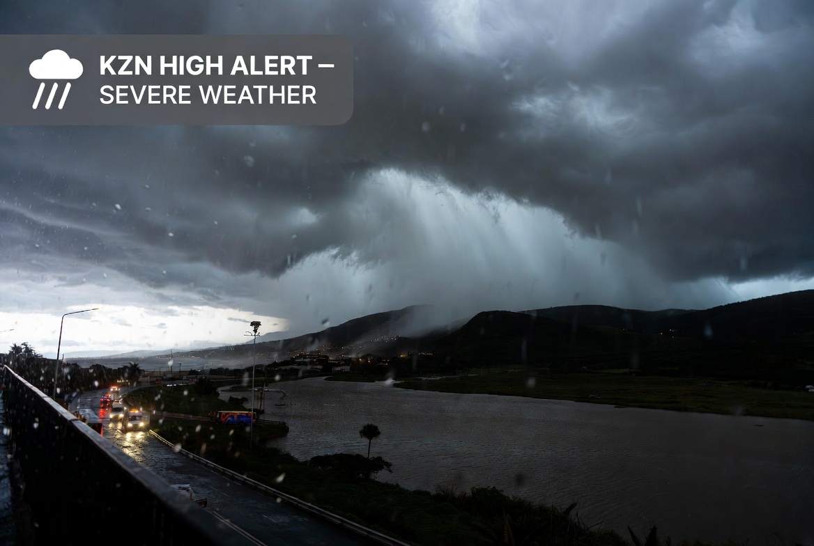
This covers disruptive rainfall expected primarily from Tuesday 28 July (starting around midday) into Wednesday 29 July 2026, linked to a cut-off low system bringing cold, wet conditions (with possible light snowfall in southern high-lying parts of the province later).
Weather Warnings and Affected Areas
SAWS and provincial statements outline two main tiers (noting slight variations in colour/level descriptions across sources, common with SAWS impact-based warnings):
- Central Inland Areas – Level 2 / Yellow Level 2 warning for disruptive rain (Tuesday, 12:00–23:59): Municipalities include Msunduzi, Greater Kokstad, Nkandla, Richmond, uMngeni, Maphumulo, Ndwedwe, Umvoti, Mkhambathini, Mpofana, Mthonjaneni, Ubuhlebezwe, uMshwathi, uMuziwabantu, Umzimkhulu, and Ingwe. Potential impacts: Localised flooding of formal and informal settlements, waterlogged roads, and difficult driving conditions.
- Coastal Belt & Adjacent Interior – Level 4 / Yellow Level 4 warning (Tuesday 12:00 through Wednesday 23:59): Municipalities/areas include eThekwini Metro, KwaDukuza, uMhlathuze, Ray Nkonyeni, Umdoni, Mandeni, Mtubatuba, Big Five Hlabisa, uMlalazi, and Umzumbe (generally south of St Lucia along the coast and adjacent interior). Potential impacts: Severe rainfall (exceeding ~40 mm in places), widespread structural damage, fast-flowing rivers, flooding of bridges/roads/settlements, and possible displacement of residents in vulnerable areas.
Broader SAWS context for the period includes higher-impact (Orange Level) warnings for disruptive rain further south (East London to Port Edward area) and disruptive snow on north-eastern Eastern Cape high ground, plus advisories for very cold/wet conditions with light snow possible in southern KZN high ground, Free State, and near the Lesotho border from Tuesday evening, clearing by Thursday.
Official Response and Preparedness
Disaster management teams across the province are on high alert and will closely monitor historically flood-prone areas, low-lying settlements, informal areas, and critical infrastructure. The Provincial Disaster Management Centre is coordinating with municipalities, emergency services, and relevant partners.
MEC Buthelezi and the department have urged extreme caution, stressing that the conditions pose a serious risk to lives, particularly in vulnerable communities near rivers or in flood-prone zones.
Safety Guidance for Residents
Standard advice from COGTA and SAWS includes:
- Avoid crossing flooded roads, bridges, or rivers—even if the water appears shallow.
- Stay clear of low-lying areas, rivers, and streams; move to higher ground if necessary.
- Secure outdoor items and prepare for possible power or service disruptions.
- Monitor official updates from SAWS, KZN COGTA, local municipalities, and emergency services.
- Report emergencies promptly to local disaster management or municipal authorities.
As of early Tuesday 28 July 2026 (current time around 05:00 SAST), the system is approaching and no widespread major incident reports had yet emerged in available sources, consistent with the warnings focusing on conditions developing from midday onward. Residents should continue monitoring real-time updates, as cut-off lows can produce highly variable localised impacts.