



The quake hit at approximately 7:34 a.m. local time (12:34 UTC) near the town of San José del Palmar in Chocó department, at a depth of roughly 96–110 km (about 60–69 miles). The U.S. Geological Survey and Colombian Geological Service recorded it as a moment magnitude (Mw) 7.4 event, caused by strike-slip faulting within the subducting Nazca plate. It was the strongest earthquake recorded in Colombia in the 21st century (or at least the past decade, per official statements) and lasted around two minutes. Shaking was felt across much of the country—including Bogotá—and in neighboring Ecuador, Panama, and parts of Venezuela, with maximum intensity reaching MMI VII (Very strong) in affected zones. Dozens of aftershocks followed, including one of magnitude ~5.0.
Casualties and Damage
Death toll figures rose steadily as rescue operations progressed. President Abelardo de la Espriella (who had taken office only days earlier, on August 7) initially reported 111 deaths and dozens of injuries. Later updates from the Colombian Association of Capital Cities (Asocapitales) and other sources put the confirmed death toll at least at 132, with some reports (including Wikipedia summaries of official figures) citing 164 or more. Hundreds were injured (reports ranged from 570+ to over 880). Citizen-run missing-persons platforms (adapted from those used after June 2026 earthquakes in Venezuela) listed thousands unaccounted for—over 2,700 in some tallies and more than 3,200 in others—though these are not all confirmed trapped or deceased.
Hardest-hit areas included Colombia’s coffee-growing heartland (Risaralda department and the city of Pereira, with dozens of deaths and many collapsed buildings; Caldas and Manizales) and the Valle del Cauca region around Cali (Colombia’s third-largest city, with reports of 35–85+ deaths in various updates, dozens of collapsed structures, and damage to hospitals including pediatric sections). Chocó (near the epicenter) reported fatalities and infrastructure damage, though communication challenges limited early assessments in some remote spots. Other impacts included:
- Thousands of homes damaged or destroyed (early figures of 1,500–5,000+ damaged).
- Multiple hospitals, schools, churches (including a tower collapse at a historic cathedral in Manizales), and airports affected; several airports suspended operations.
- Landslides closing roads, power and water disruptions, and curfews in places like Cali and Pereira to aid operations and curb looting.
The coffee region (responsible for a significant share of national production) faced particular concern due to structural damage and access issues, though broader economic effects were still being assessed.
Civilian Role in Rescues
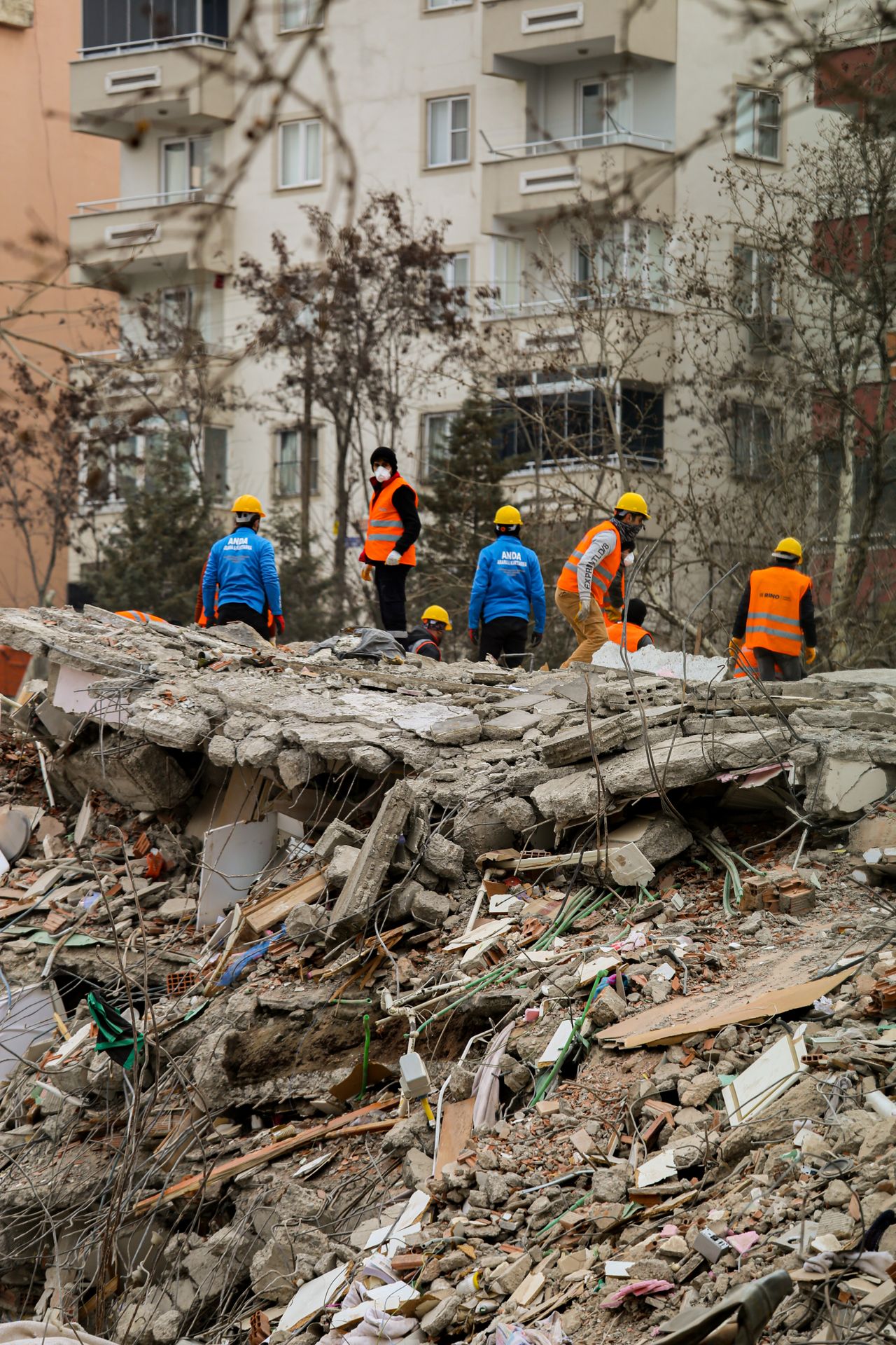
Local emergency services were quickly overwhelmed in cities such as Manizales, Pereira, and Cali. Civilians stepped in alongside firefighters, police, soldiers, and professional rescuers—forming human chains to pass debris by hand or bucket, digging with bare hands or basic tools, listening for signs of life under rubble, and helping retrieve belongings or free survivors. Examples included groups in Manizales neighborhoods assisting families until firefighters ordered them back due to collapse risks, and volunteers in Cali who freed multiple people from collapsed buildings while continuing searches for others (including pets). Residents also organized supplies, shared information via social media, and used adapted missing-persons websites. Official responses included deploying military and police assets, establishing unified command posts, and receiving international offers of aid (teams, funding such as U.S. emergency assistance, and satellite support via the EU’s Copernicus program).
Broader Context and Implications
This was the first major crisis for the newly inaugurated president, who declared a national disaster/state of emergency to accelerate response and reconstruction. It revived memories of the destructive 1999 Armenia/Coffee Axis earthquake and came shortly after deadly twin quakes in Venezuela in June 2026. Geologically, the event fits the region’s complex subduction setting (Nazca/Malpelo plate beneath South America), where intermediate-depth earthquakes can occur.
Rescue operations continued into the following days with heavy machinery where available, but the “golden hours” for finding survivors under rubble are limited, so the death toll was expected to keep rising. Challenges included aftershock risks, damaged infrastructure limiting access, communication blackouts in places, and the scale of destruction across multiple departments. International solidarity was strong, with offers of search-and-rescue teams and aid from neighboring and other countries.
Figures continue to be updated as searches progress and more remote areas are reached; official tallies from Colombian authorities and agencies remain the primary reference. The event underscores both the vulnerability of built environments in seismically active zones and the rapid community mobilization often seen in such disasters.